CASE STUDY
Migori Town LPLUDP
Developing a data-driven spatial framework to guide sustainable urban growth, infrastructure investment, and land use management for Migori Town.
ROLE
GIS & Urban Planning Analyst
PLATFORM
ArcGIS Pro
FOCUS
GIS Analysis · Spatial Planning · Urban Development · Land Use Planning
LIVE
The Real Problem
Migori Town has experienced rapid and uncoordinated urban growth, resulting in land-use conflicts, infrastructure deficits, traffic congestion, environmental degradation, and unequal access to public services. Without a comprehensive spatial development framework, sustainable growth and investment become increasingly difficult.
The Approach
Develop a 10-year Local Physical and Land Use Development Plan by combining spatial analysis, GIS mapping, infrastructure assessment, field research, and planning principles to produce evidence-based development proposals.
Working as part of a multidisciplinary planning team, the project translated complex spatial and socio-economic data into actionable planning strategies that support coordinated urban development.
What I Built
- Produced the project basemap and supporting GIS datasets using ArcGIS Pro
- Conducted physical and social infrastructure analysis to identify service gaps and development needs
- Contributed to technical report writing and documentation of planning findings
- Developed and digitized the proposed land use plan based on planning objectives and spatial analysis
- Assisted in preparing presentation materials and visual communication for the final planning report
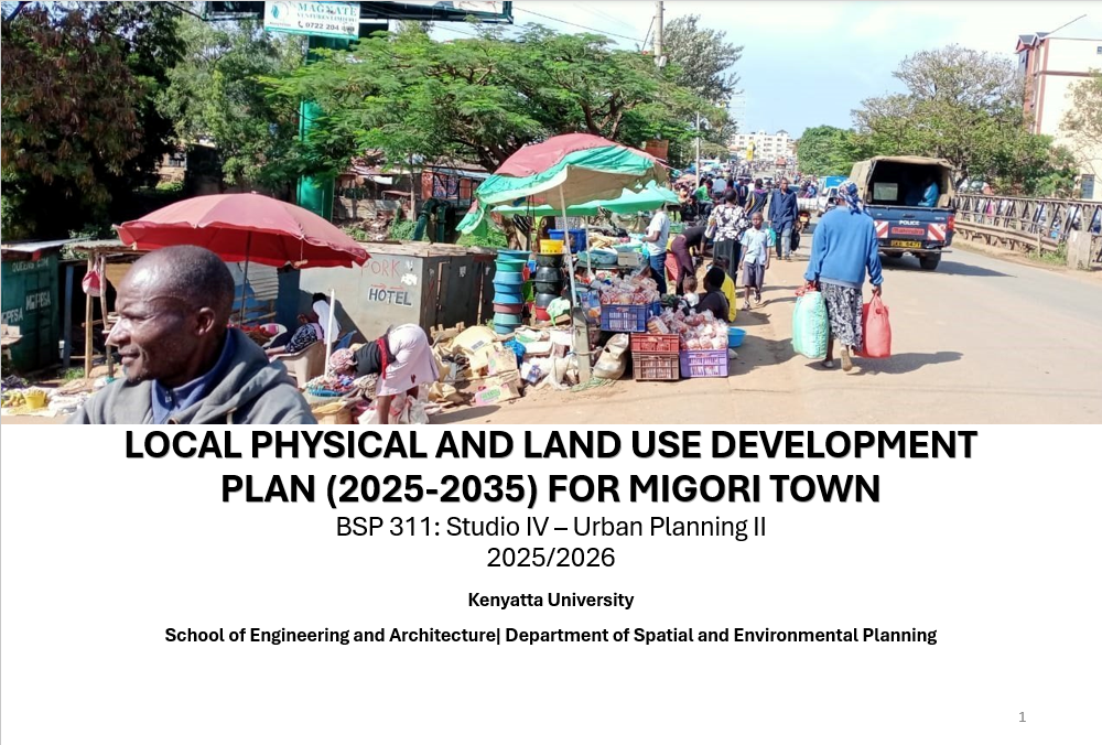
What Changed
- Produced a comprehensive spatial planning framework to guide Migori's development between 2025 and 2035
- Supported evidence-based land use allocation and infrastructure planning
- Identified key development constraints and opportunities through GIS and spatial analysis
- Contributed to a planning document that promotes sustainable urban growth, improved service delivery, and coordinated future development